- Home
- Ku-ring-gai Chase NP
- Resolute Beach walk
The Resolute Beach Loop Walk
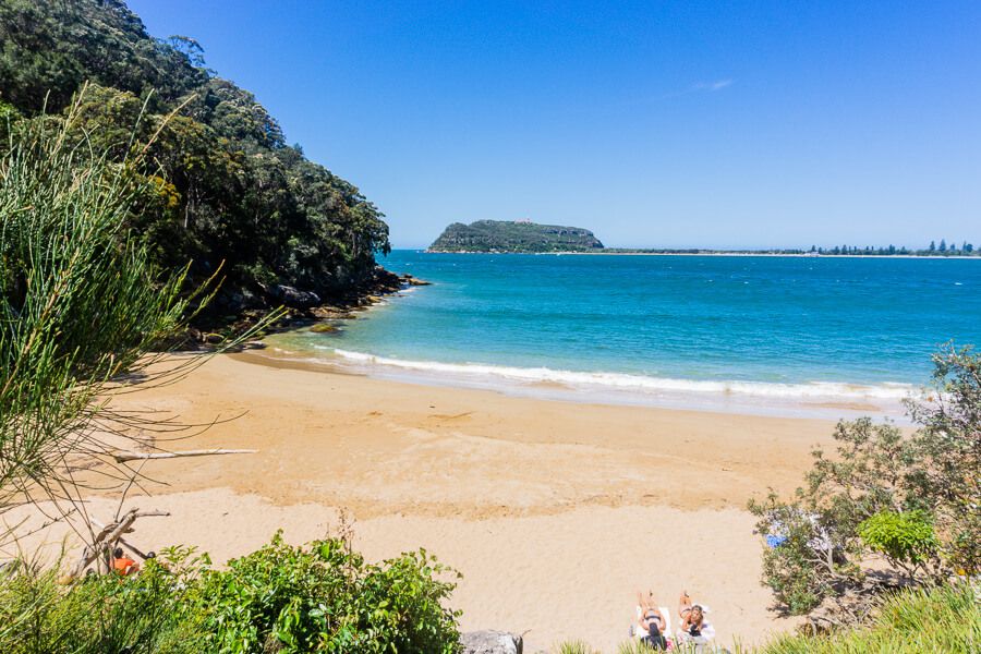 Resolute Beach
Resolute Beach is located on the West Head peninsula in Ku-ring-gai Chase National Park in Sydney.
You can walk to this idyllic, isolated beach along a bush track.
The Resolute Beach circuit walk takes
you to Resolute Beach and other stunning beaches, including West Head and Great
Mackerel beaches.
You’ll also see impressive views at West Head Lookout and a couple of Aboriginal sites. You may even sight swamp wallabies.
Find out the highlights of the Resolute Beach loop walk and how to get there in this article.
RESOLUTE BEACH LOOP WALK:
- Distance: 6 kilometres
- Duration: 3 hrs 30 min
- Grade: Hard
- Dogs: Not allowed
Tip: In this guide the walk diverges from the loop track at one point in the direction of Great Mackerel Beach. If you want to walk less than 6 kilometres, bypass that track and stick to the circuit walk, which is 4.4 kilometres.
This post contains affiliate links. For more information, please read my disclosure.
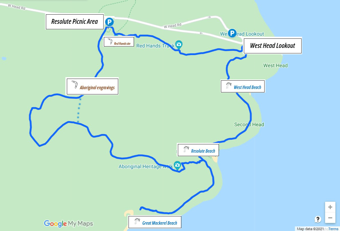
Map
How to Get There
By Car
You can start the walk at two places on West Head: West Head Lookout or Resolute Picnic Area.
The quickest way to Resolute Beach is from West Head Lookout (1 kilometre). But I suggest you start the loop walk from Resolute Picnic Area.
To get to Resolute Picnic Area, follow West Head Road for 12 kilometres. There’s a carpark available and indications to the walk at Resolute Picnic Area. Check the location on Google Map.
West Head is open between 6am – 6pm and 6am – 8.30pm during daylight saving hours.
All roads are paved so you can drive there with a 2WD.
It costs $12 to enter West Head. You’ll be charged at the gate.
By Ferry
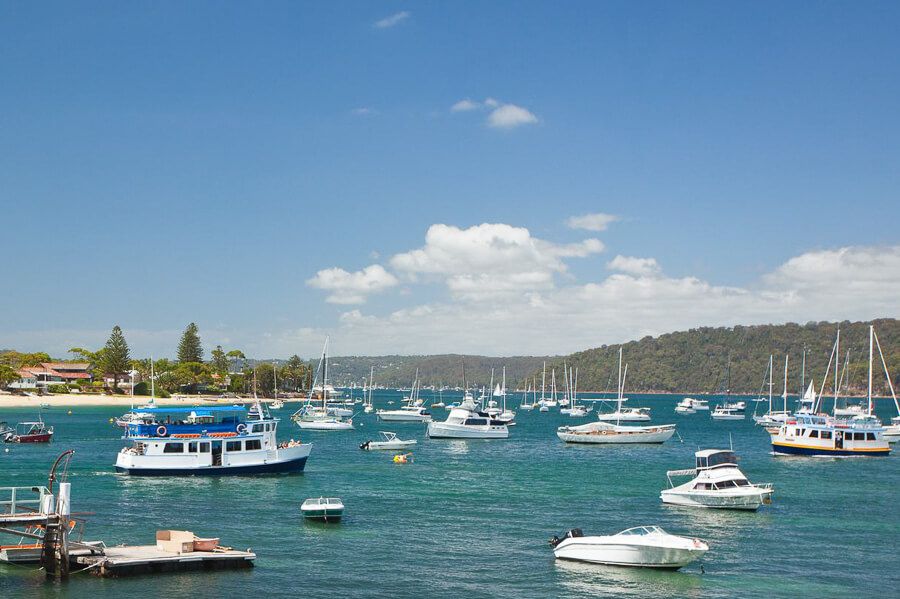
A ferry from Palm Beach travels to Great Mackerel Beach several times daily. Access the walking track from the northern end of the beach.
Click here to see the ferry timetable.
By Bicycle
Many cyclists ride their bikes along West Head Road, a challenging but rewarding ride.
Facilities
Toilets and barbeque facilities are located in the Resolute Picnic area.
There are no shops or drinking water, so bring food and water. You can grab a coffee at Tempo Café on Mona Vale Road before driving into West Head.
Resolute Beach Loop Walk
In this guide, we’re walking anticlockwise from Resolute Picnic Area.
You can also walk clockwise, but I prefer the other direction because you get the dull section out of the way first.
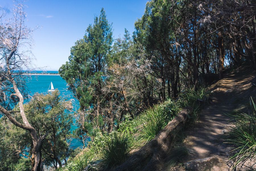
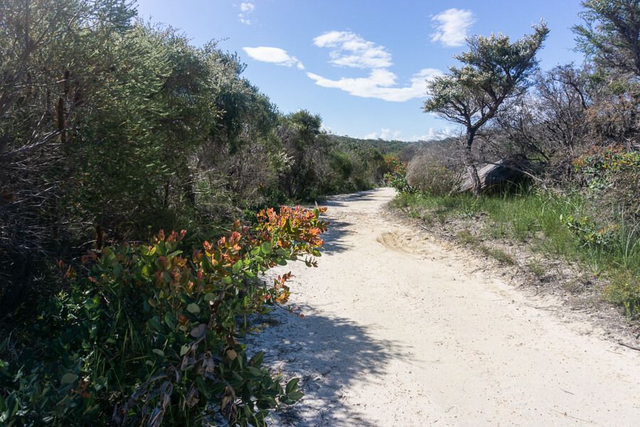
The track is hilly in parts with lots of steps but is well maintained and signed posted.
Resolute Picnic Area
Sydney red gums surround the tranquil picnic area.
Large maps showing Ku-ring-gai Chase National Park’s walks and attractions stand in the middle of the picnic area.
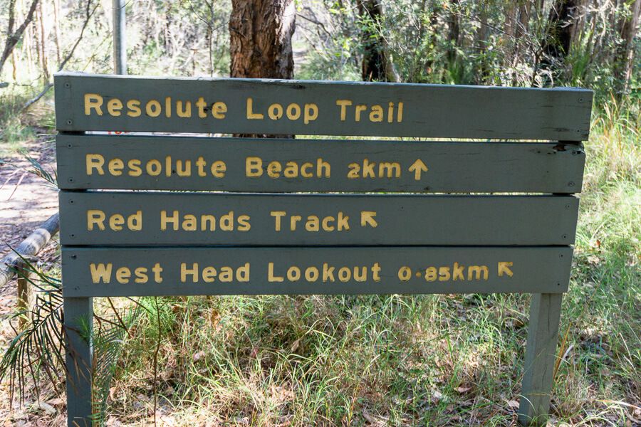
From Resolute Picnic Area, follow the sign to Resolute Beach.
Section 1 – Resolute Picnic Area to Resolute Beach
Resolute Beach is two kilometres from Resolute Picnic Area.
This section of the walk occurs along a trail surrounded by bush views – I find this section a bit dull, but it does improve later.
650 metres after beginning the walk, you’ll pass a large sandstone rock with Aboriginal engravings. Although impossible to accurately date the engravings, they could be around 2000 years old.
 A male human figure
You’ll see figures, including a human, eel and fish, and great
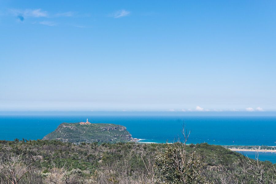
views of Pittwater and Barrenjoey Lighthouse.
Tip: If you’d like to save 20 minutes, take the shortcut commencing at the far right of the rock shelf, which links back to the main trail.
If sticking to the main trail, continue walking for about 900 metres, veer left toward Resolute Beach and walk down the stairs.
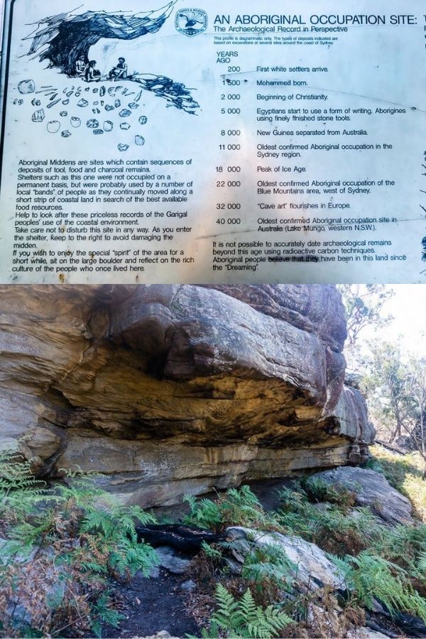
A few metres down are an Aboriginal Occupation site and a rock overhang.
At the bottom of the hill, you’ll see Resolute Beach on the left and a track heading right – it leads to Great Mackerel Beach. Follow this track.
If you prefer to stick to the loop walk, turn left instead.
Section 2: To and From Great Mackerel Beach
From the Resolute Beach intersection, follow the 700-metre track to Great Mackerel Beach.
The path follows the hill’s contour.
Great Mackerel Beach is an isolated beachside suburb only accessible by boat or bush track.
 Great Mackerel Beach
A ferry service travels between the suburb and Palm Beach
several times a day.
The 600-metre stretch of sand is backed by houses and the bush of Ku-ring-gai Chase National Park. Many boats are anchored in the bay.
Explore Great Mackerel Beach, then retrace your steps toward Resolute Beach.
Resolute Beach
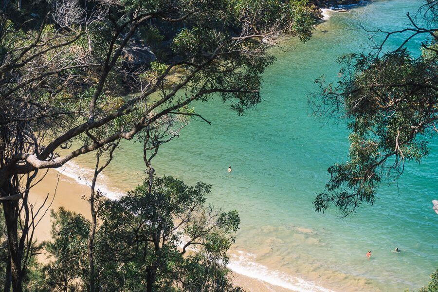
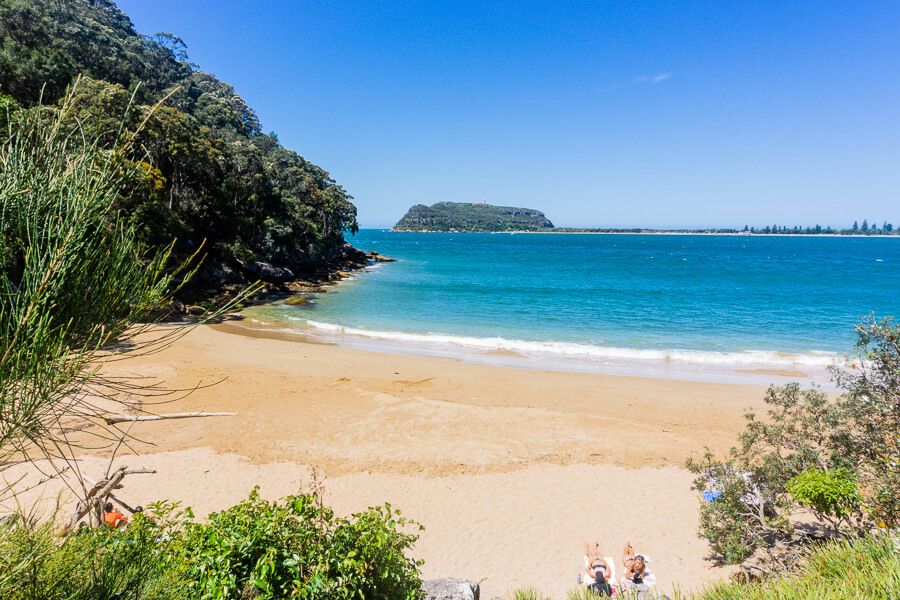
Resolute Beach is a small, isolated beach with calm and inviting cyan-blue water.
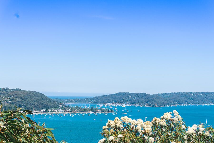
From the beach, you get terrific views across Pittwater to Palm Beach.
It’s tucked in the bush of Ku-ring-gai Chase National Park, so you can only get there by bushwalking or boat.
 Resolute Beach
Keep in mind there are no facilities at Resolute Beach.
Have a swim and chill out on the warm sand.
Section 3 – Resolute Beach to West Head Lookout
From Resolute Beach, follow the track toward West Head Lookout (1 kilometre away).
The track winds around the hill’s contour and leads to another beautiful beach, West Head Beach, 500 metres away.
Walk down the steps to the beach.
The water is calm and you can swim.
You get great views of Pittwater and Barrenjoey headland.
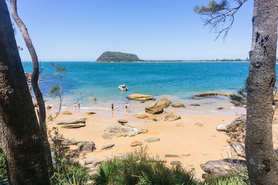 West Head Beach
Many people get here by boat across Pittwater.
After the beach, continue walking toward West Head.
The track ascends 400 metres to the top of the headland. It’s a challenging walk, but you’ll be rewarded with beautiful views of Pittwater.
West Head Lookout
West Head Lookout in Ku-ring-gai Chase National Park is one of the most spectacular viewpoints in Sydney.
You can see Broken Bay to the left, Pittwater to the right and Barrenjoey headland and lighthouse ahead. You can also see Lion Island and the Central Coast across Broken Bay.
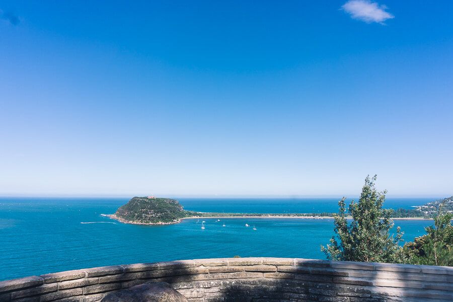 West Head Lookout
The myriad of sailing boats dotting the water add to the
stunning scenery.
West Head also has a historical significance. During World War II, it was used to defend the area against a possible naval invasion.
If you have some energy left, follow West Head army track, which starts at the lookout. You’ll see the historic military battery.
Section 4 – West Head Lookout to Resolute Picnic Area
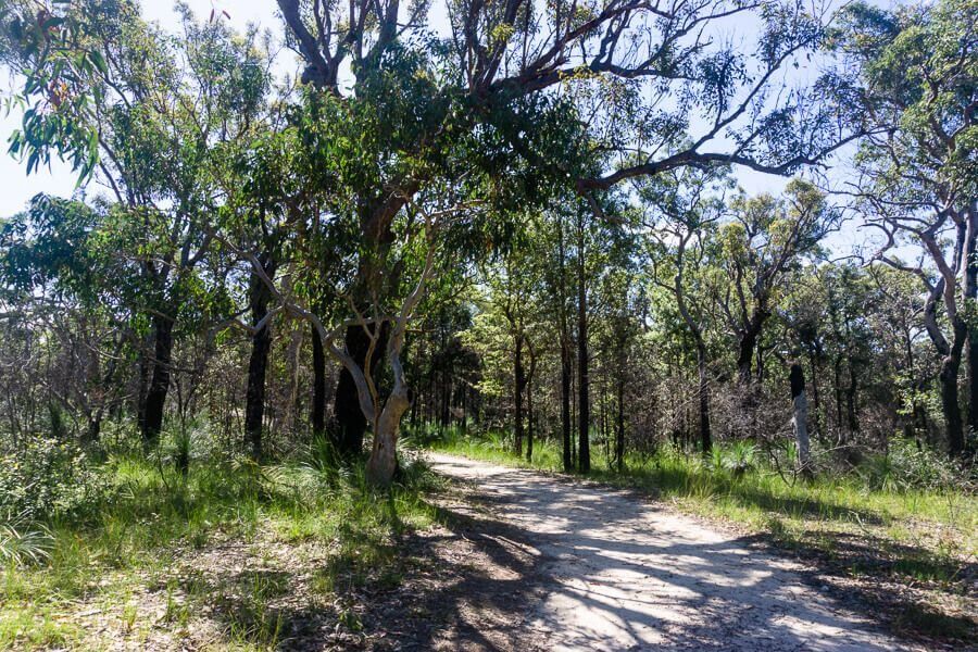
The last section of the walk goes for 850 metres through a forest of red gums.
As you approach the picnic ground, you’ll walk past Red Hands Aboriginal Rock Art Site, which is of great cultural and historical significance. The cave shows red ochre handprints.
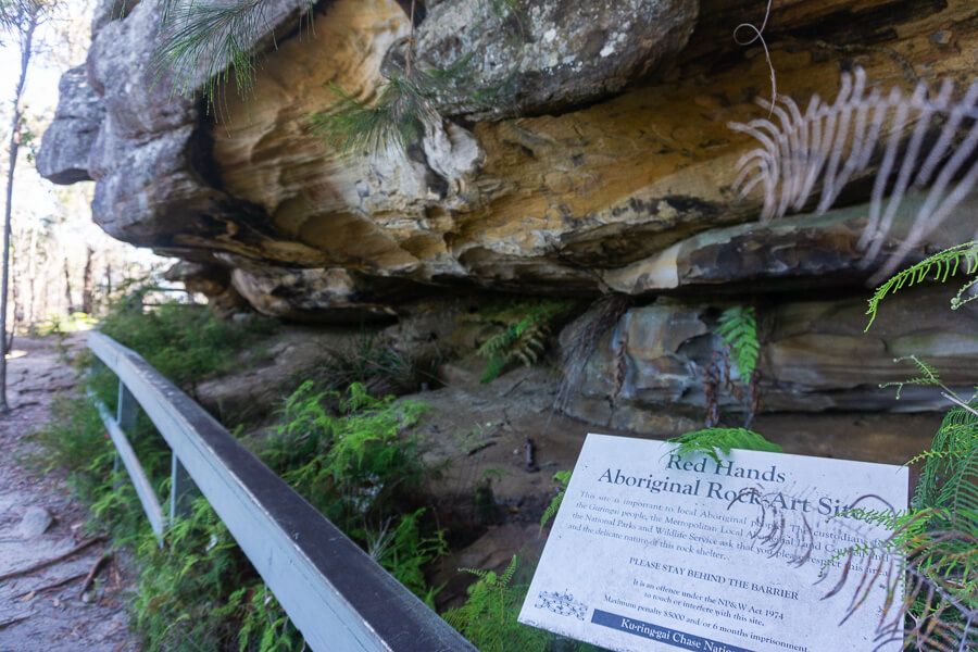 Red Hands Aboriginal Rock Art Site
Then take the right turn at the intersection returning to
Resolute Picnic Area.
I hope you enjoyed your walk.
More Photos
